Our most popular maps are ready for immediate delivery

Quick delivery – ship within 24 hours
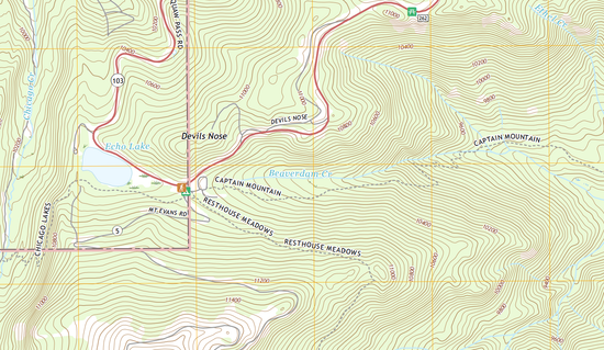
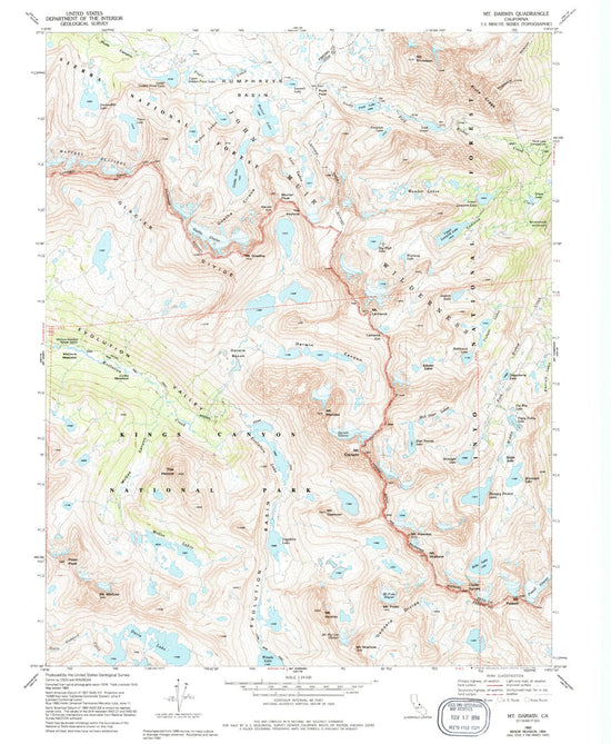
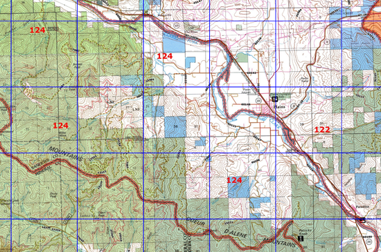
US Topo Quad Maps, Classic USGS 7.5' Quads, MyTopo Explorer Series of curated maps, GMU hunting unit maps, Backpacker hiking maps, Historic USGS Topos, National Park maps and even some Canadian maps can be easily ordered; then MyTopo prints and ships them within 24 hours.
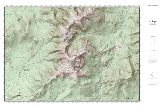
Need basic Custom Map (such as a classic or hill-shaded USGS-style topo map, aerial photo, a Canadian topo, a 1:50,000 MGRS map, a series of juxtaposed maps, or a laminated map?) click Find Your Map, search for a location, answer some basic questions, and your custom map will be ready to be shipped quickly to your door!
Want something more specialized (such as a large banner-sized map, a hybrid topophoto, high resolution satellite imagery, or a map with Private or Public Land Boundaries on it, etc.) or a previously ordered map? Please call us at 877-587-9004 or schedule an appointment.
We just received our 3′ by 4′ custom topo map. I just wanted to report that we are very satisfied with the quality of the map. The detail is terrific and we appreciate that it is on high quality paper. We can’t wait to get it mounted and displayed in our log house in the woods. Your web site is terrific and I really appreciated that we could preview the map before making the purchase. I was also surprised and delighted by how quickly it was printed and put in the mail.
...Dan & Wanda A.
Key features of all MyTopo maps
-

One Stop Map Shop
MyTopo offers quick and easy order for stock maps, including every USGS 7.5 minute US Topo and Classic map, Explorer Series maps of popular areas, Game Management Unit Maps for 8 western states, Historic maps, and Backpacker Pro hiking maps.
I've ordered 2 or 3 maps from you already over the last couple of weeks, and I absolutely LOVE your service! You've got a customer for life here in Colorado. ...Bill W.
MyTopo - Home of the custom map
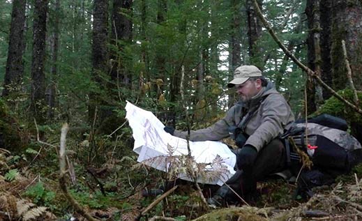
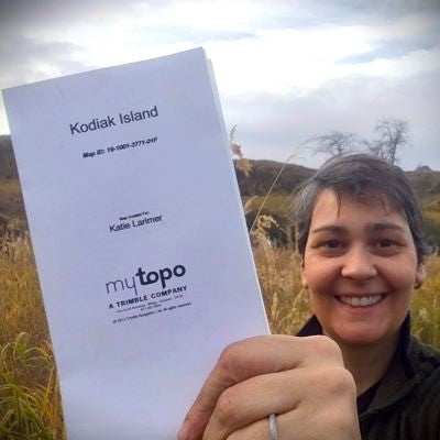
MyTopo has over twenty years of experience providing custom-printed maps for use in the field, home and office. Maps are printed and shipped within 24 hours for quick delivery.
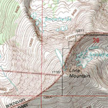
We offer United State Geological Survey (USGS) 7.5' topographic maps, and aerial/satellite photographs custom centered on any place in the US or Canada.
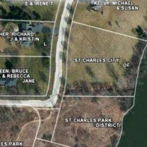
Upon special request, MyTopo can overlay private land boundaries to provide landowner names and parcel boundaries on its topos or satellite maps. In addition to private land data, customers can add public land boundaries, US Forest Service Roads and Trails, lake bathymetric contours, and GMU boundaries. Other special options include additonal scales, map types, and poster size paper selections.
Maps are printed on waterproof paper for use in the field. Maps can also be laminated for use with a dry erase marker or grease pen.
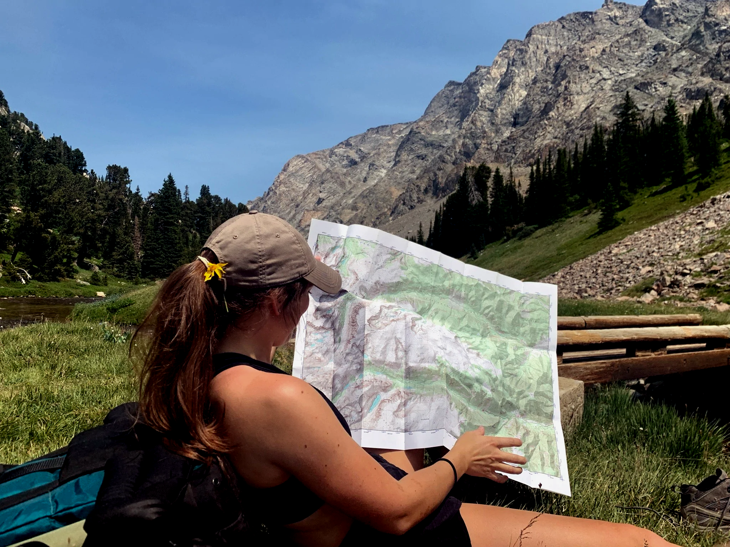
Want to make a map? Find your location, fill out a few simple questions, and your map will be on its way to you!
-
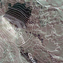
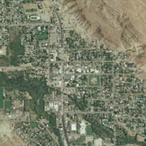
Hybrid maps and satellite imagery
Schedule a map-making sessionUpon request, MyTopo can provide a unique map that is a blend of an aerial base map with a topo map overlaid to show recent changes to the landscape combined with the contours and symbology valued in topographic maps.
And MyTopo can also produce beautiful hi-resolution satellite image maps across the US and Canada. -
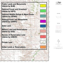
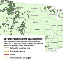
Public land boundaries
Schedule a map-making sessionOverlay public land boundaries on custom topographic, aerial or satellite maps. Know whether you are on Bureau of Land Management property, US Forest Service Land, within a National Park, on a Reservation, state land or private property. MyTopo offers the ability to overlay public land boundaries on all of its base map types.
-
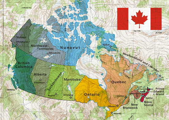
Canadian Maps
Find Your MapCreate your own custom topographic map anywhere across Canada! We've already mapped the most popular areas in our Explorer Series, or Find Your Map to create your own.
Satellite image maps are also available in Canada! Schedule a map-making session to make yours.